This article originally appeared in The Military Engineer, July-August 2025, pages 54-56. Reprinted with permission of the Society of American Military Engineers.
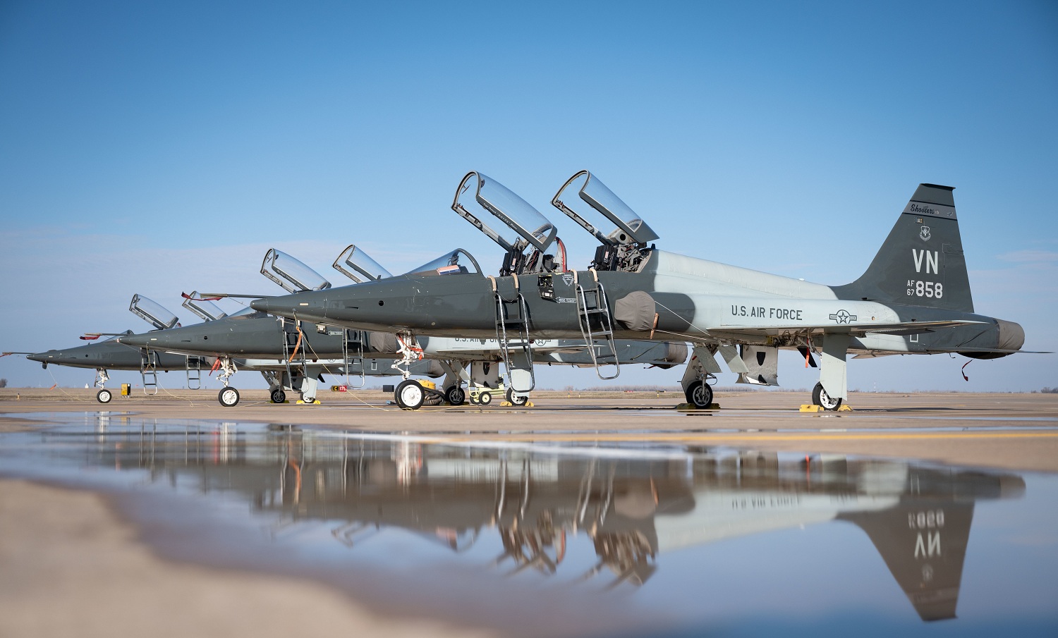
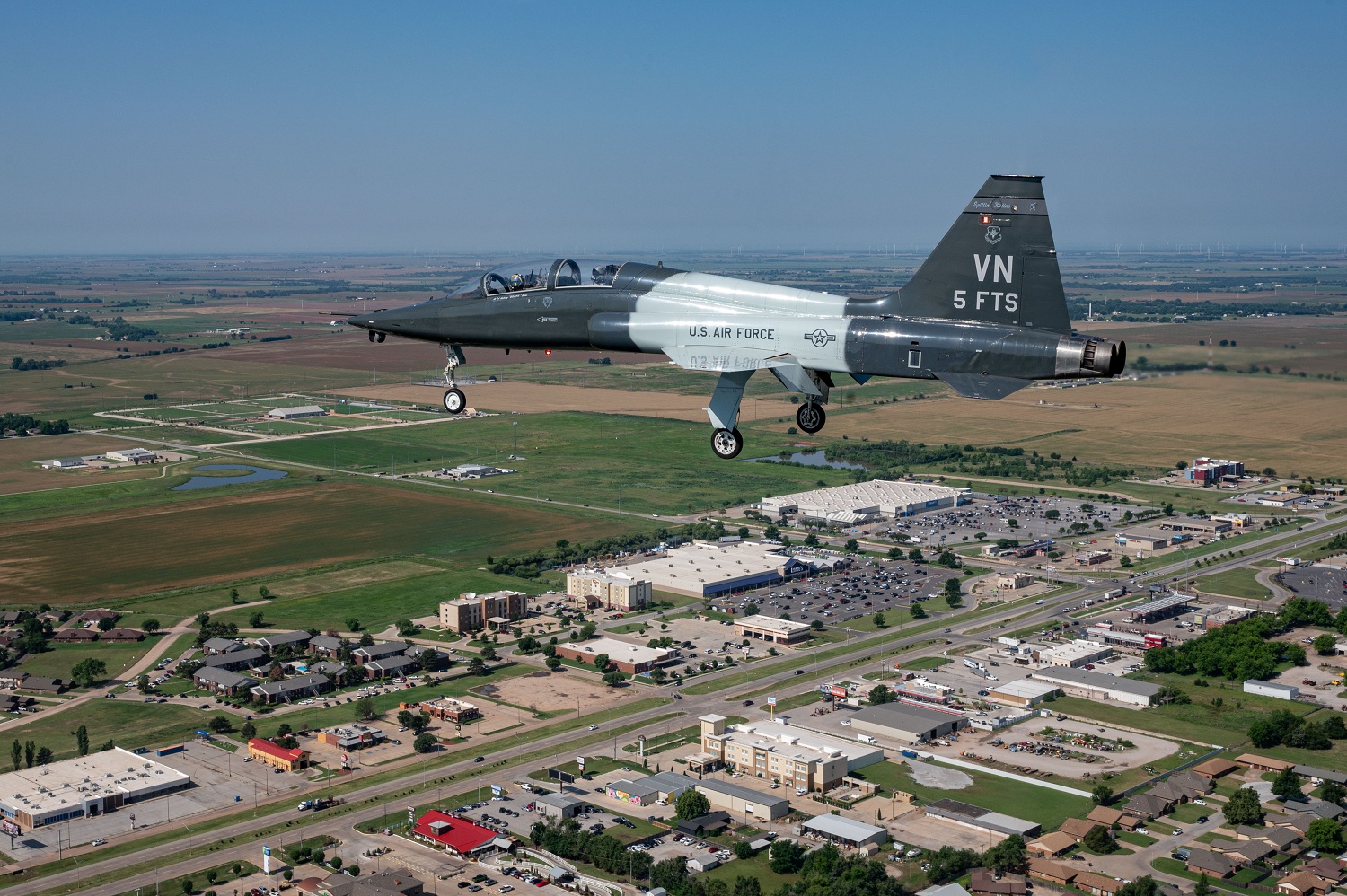
In the vicinity of Enid, Okla, a community located 100 miles north of Oklahoma City, Vance Air Force Base (AFB) has a storied history of training world-class military pilots who have defended our nation for more than eight decades. What would eventually become the home of the 71st Flying Training Wing was established by the U.S. Army Air Corps in 1941. Thousands of military pilots who earned their wings at the base went on to serve in World War II and in the many decades since.
Today, Vance AFB has about 1,400 active duty and reserve personnel and employs a similar number of government civilians and contractors. Its dominant underlying physical characteristic is the flat-to-gently rolling terrain of the Osage Plains region of Oklahoma. The base sits about 1,300 feet above sea level overall.
While the topography in this area of north central Oklahoma provides abundant space for runways and unobstructed horizons for trainees, it creates challenges in terms of the lack of stormwater drainage. To help address these challenges, the U.S. Air Force sought an airfield drainage study for Vance AFB and Kegelman Air Force Auxiliary Field (AFAF), which is 45 miles northwest of Enid. In total, the two installations cover roughly 3,300-acres (2,122 acres for Vance AFB and 1,054 acres at Kegelman).
The airfield drainage project team delivered the study and a set of solutions to address drainage issues. The team relied on a pre-existing LiDAR survey supplemented by newly collected survey data, stormwater modeling, geotechnical investigation, and design of stormwater improvements.
Effective approaches
The project team for the airfield drainage work consisted of representatives from the Air Force, ARC Federal, and Olsson. The goals of the study at Vance/Kegelman were threefold:
· Evaluate the existing stormwater utility systems to determine how well they align with design criteria and industry best practice.
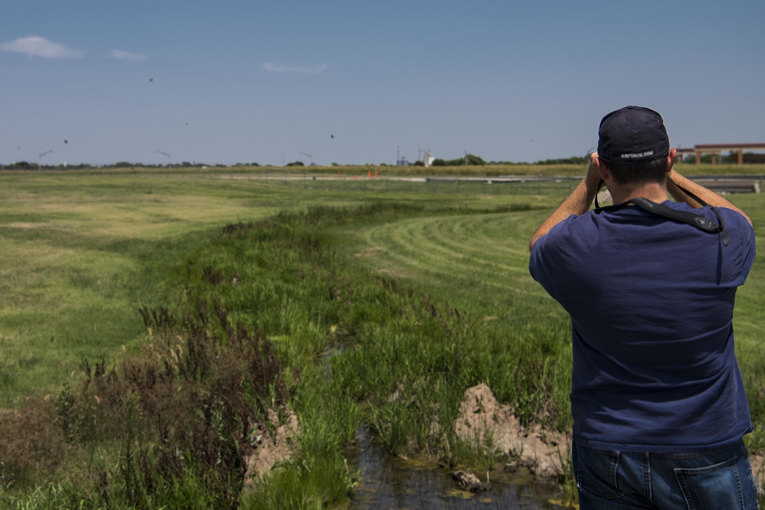
· Identify problematic areas where inadequate drainage results in ponding and potential attraction of waterfowl and shorebirds (a risk to aircraft, pilots, and crew).
· Recommend a range of solutions for addressing nonconforming slopes and achieving positive drainage, which included estimated construction costs for programming future improvements.
Overall, the work was able to draw on a deep well of digital data that would have been unimaginable to the engineers who designed the base. Though the tools and technology may have been relatively new, they were deployed to address age-old problems common to stormwater management.
The project team started by reviewing the existing stormwater geodatabase at the two installations. Working from the pre-existing survey provided significant savings of time and project expense compared to completing new comprehensive surveys. The review focused on identifying key locations where data appeared to be inconsistent or inadequate or where drainage issues had been observed in the past.
To fill in minor information gaps in the existing database, a survey crew was deployed to collect field data in targeted locations. Working around restrictions associated with an active airfield, the surveyors captured the data and updated the existing geographic information system database using a variety of approaches that proved effective:
· Review and use of a pre-existing LiDAR survey to assess the stormwater infrastructure and management needs.
· Deployment of surveyors to verify LiDAR data and capture storm drainage system measurements in key locations where existing geographic information system data was missing or inconsistent.
· Development of stormwater models to aid in the evaluation of existing stormwater drainage systems and to guide preparation of proposed solutions.
· Development of concept plans ranging from minor grading improvements to more complex enhancement of the closed drainage system.
Collecting accurate invert elevation data of pipes, drains, and channels from the field was critical for creating comprehensive models of the stormwater system. In turn, the models set the foundation on which the drainage improvement recommendations were built.
Stormwater modeling
The project team used PC-SWMM models to evaluate the system’s performance and identify areas of concern across multiple recurrence intervals (these refer to the range of probabilities of a given flood occurring each year; for example, a two-year flood has a one-in-two chance of occurring every year, while a 100-year flood has a one-in-100 chance of occurring annually).
The PC-SWMM models combined 2D surface flow modeling with 1D storm sewer modeling. Geotechnical analysis was conducted to gather two additional pieces of data: soil permeability and the depth to groundwater.
The models apply “rainfall” to the surface to determine how much water infiltrates the ground. Rainfall that does not infiltrate is routed overland, based on topography. The models also predict how much surface flow can enter the storm sewer system, subject to the system’s capacity. The models provide data on drainage patterns, velocities, flow depths, and ponding.
Flood depth maps were then developed for the base and the auxiliary airfield. The maps, in turn, identified places where ponding would likely affect base infrastructure and runway zones. Knowledge from installation personnel proved invaluable when it came to validating areas affected by flooding, ponding, and drainage issues.
The project provided a comprehensive stormwater model for both miliary assets. The hard numbers yielded by the modeling allowed the creation of multiple options to address drainage issues.
In conjunction with the stormwater evaluation, the team compiled a set of concept plans outlining the proposed alternatives for stormwater improvements. The plans include steps as simple as regrading open channels near runways to building new stormwater drainage systems.
The concept plans were tailored to the different areas of Vance AFB and Kegelman AFAF, including near runways, airfields, and cantonment areas. The plans represent a guiding resource for setting priorities to address stormwater drainage issues at the air base and auxiliary airfield in coming years.
Success in partnership
The importance of stakeholder engagement and communication emerged as an essential lesson from the project. The consulting team conducted meetings with key base personnel before project work began and at periodic milestone reviews. Holding in-person meetings provided clear communication of client expectations and were more effective than email or videoconferencing.
The work undertaken at Vance/Kegelman showcases what can be achieved through a successful partnership. Through collaboration, the project partners leveraged a trove of data to upgrade the geodatabase and produce concept plans to improve stormwater infrastructure. Gaining a firmer handle on stormwater management will help the installations add new chapters to their proud and storied histories.


.avif)


.avif)


