


.avif)


With experts in offices throughout the country, we can complete your project with local, responsive resources.
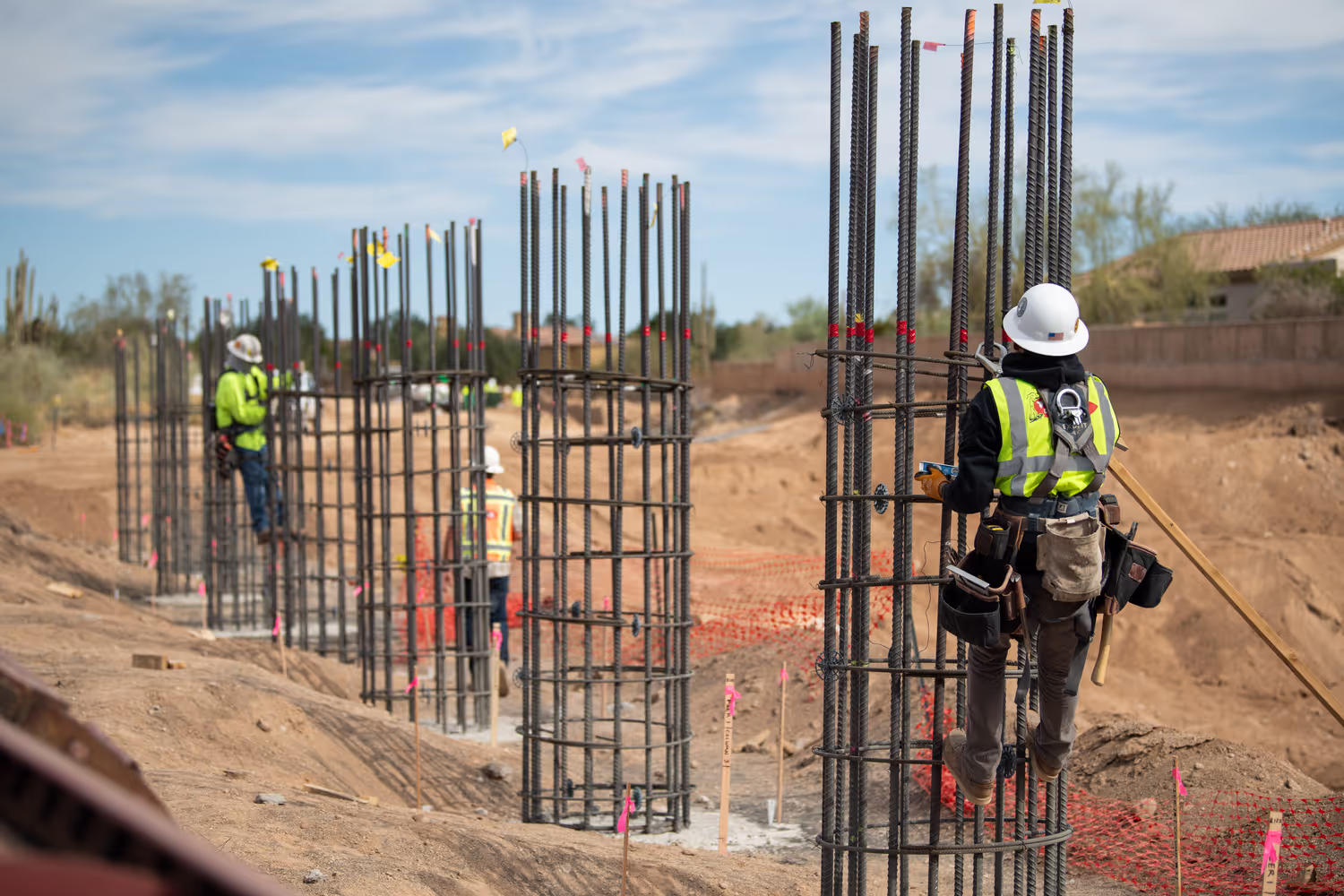
From small boundary, American Land Title Association (ALTA), and topographic surveys to larger, more complex ones – think utility, industrial, roadway, and renewable energy projects, or large commercial and residential developments – we've got it covered.
And when it comes to real estate acquisition, Olsson’s experts have a proven track record acquiring property rights needed for large and small projects by focusing on building relationships with impacted landowners.